Campus Tour · Survey sheet 01
The whole Hill,in 3D.
41.884° N · 71.962° W · 879,974 points
Every point is a real laser return from the 2023 Connecticut survey, coloured by the aerial photograph flown that spring. 5 of the 6 stops are pinned to their own roofs.

- 01Clark Memorial ChapelCapilla Conmemorativa Clark
- 02School House
- 03Centennial GardenJardín del CentenarioNot located: no public source places it
- 04Jahn Rink
- 05Olmsted Observatory
- 06Hard Auditorium
Still image: the 3D view runs only while motion is on.
06 stops · EN / ES
Six stops,surveyed.
Choose a stop to read it in English or Spanish, from anywhere or on campus. Each one is placed from an OpenStreetMap building outline checked against the LiDAR returns inside it; one is not placed at all, and says so.
Clark Memorial Chapel
Capilla Conmemorativa ClarkThe heart of community life at Pomfret since 1910. This is where generations of students have shared their stories through the chapel talk tradition.
41.8846° N · 71.9627° W
Roof 202.6 m · OSM way 866772269School House
The original academic building, now housing the humanities department. Its walls have witnessed over a century of learning and growth.
41.8851° N · 71.9634° W
Roof 205.7 m · OSM way 866772276Centennial Garden
Jardín del CentenarioCreated in 1994 to celebrate Pomfret's 100th anniversary. A gathering space designed to reflect the school's evolving identity.
Not located
No public source places it yetJahn Rink
More than an athletic facility — a place where teamwork transcends differences and community is forged through shared effort.
41.8852° N · 71.9715° W
Roof 141.1 m · OSM way 866772258Olmsted Observatory
Connects students to the cosmos and to the universal human experience of wonder, reminding us we all share the same sky.
41.8840° N · 71.9602° W
Roof 191.1 m · OSM way 1015123107Hard Auditorium
The stage where student performances celebrate diverse cultures, traditions, and artistic expressions from around the world.
41.8848° N · 71.9635° W
Roof 199.8 m · OSM way 866772276
Walls and faces
What the surveycannot see.
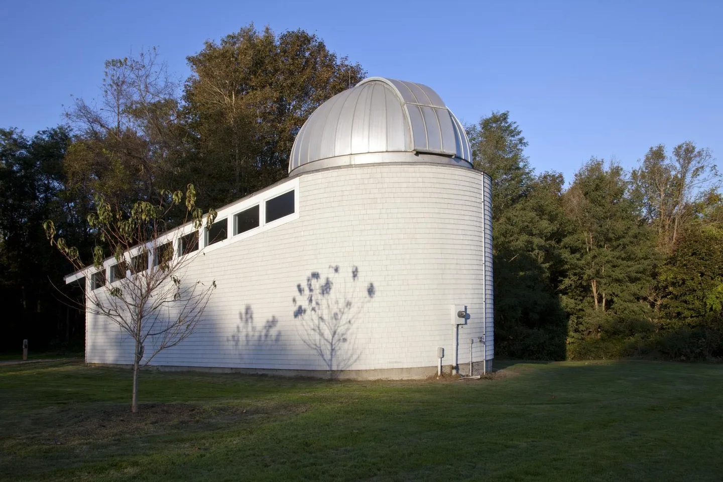
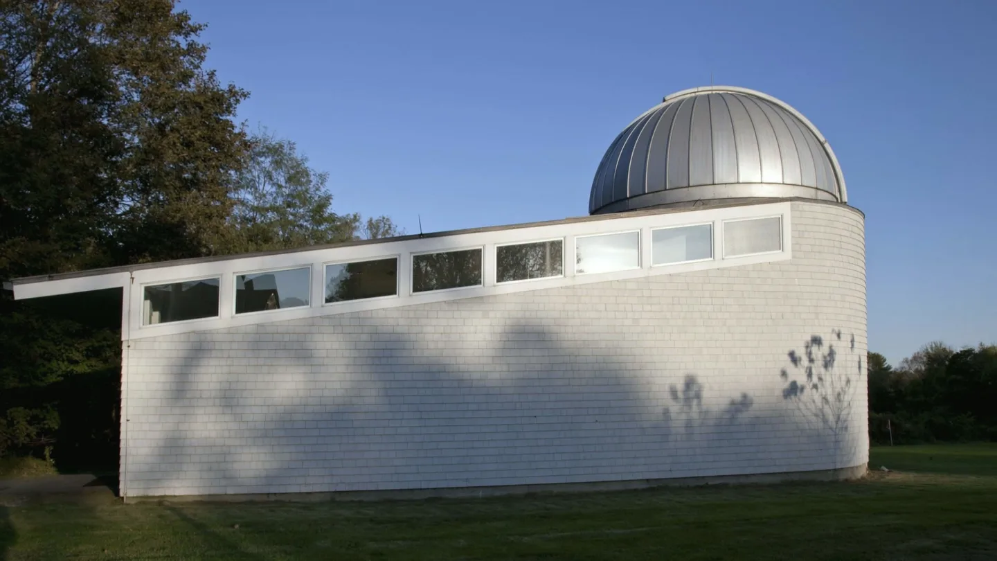
A survey plane's laser records roofs, treetops and the ground. Walls, porches and doors are only in photographs. For the observatory there is one: Carol M. Highsmith photographed it for the Library of Congress in October 2011. Beside it, an AI model's animation of a photograph from the same visit, labelled as such.
From wherever you are
Open a stop for a quick look, a deeper reading, and the next place in the story.
Start with the chapel