All Tour Stops

Campus Tour / Field notes 05

Olmsted Observatory

observatory-pushAI-animated from a public-domain photograph
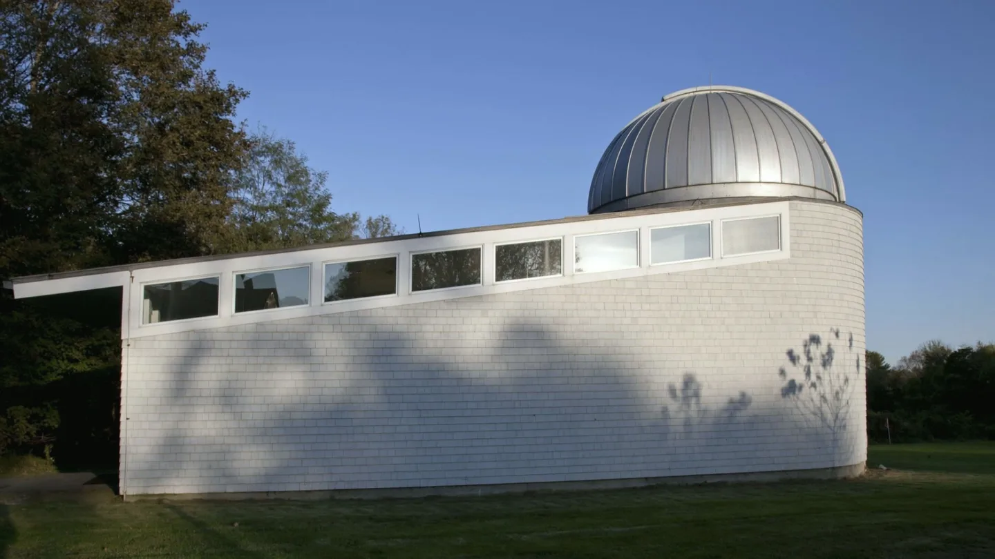
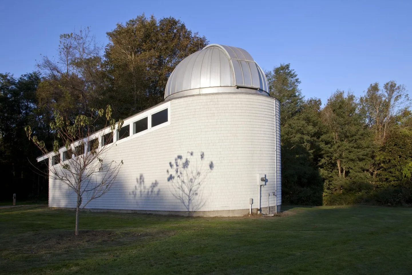
Color photograph of the white-shingled Alumni House Observatory with its silver dome, on a mowed lawn against trees and a clear blue sky. No people visible.
The photograph, unaltered: October 2011.Carol M. Highsmith — Library of Congress, Carol M. Highsmith ArchivePD — dedicated by creator
Position
41.88398° N, 71.96019° W
Roof
191.1 m above sea level (NAVD88)
Outline
OpenStreetMap way 1015123107
Find it on the 3D survey
Reading journal

Quick Look

Connects students to the cosmos and to the universal human experience of wonder, reminding us we all share the same sky.

Deep Dive

Named in honor of William Beach Olmsted, Pomfret's second headmaster (1897-1929), the observatory is a place where students encounter the scale of the universe. Its mission echoes Pomfret's: bring young people face-to-face with ideas bigger than themselves.

Two views of one hill

Where it stands.

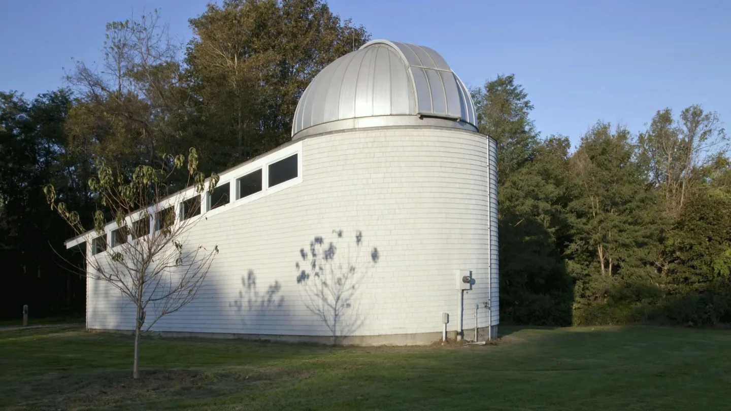
Left, the observatory where the 2023 survey puts it, at the edge of the field east of Pomfret Street: real data. Right, the 2011 photograph animated by an AI model, the camera rising off the lawn: not a photograph.
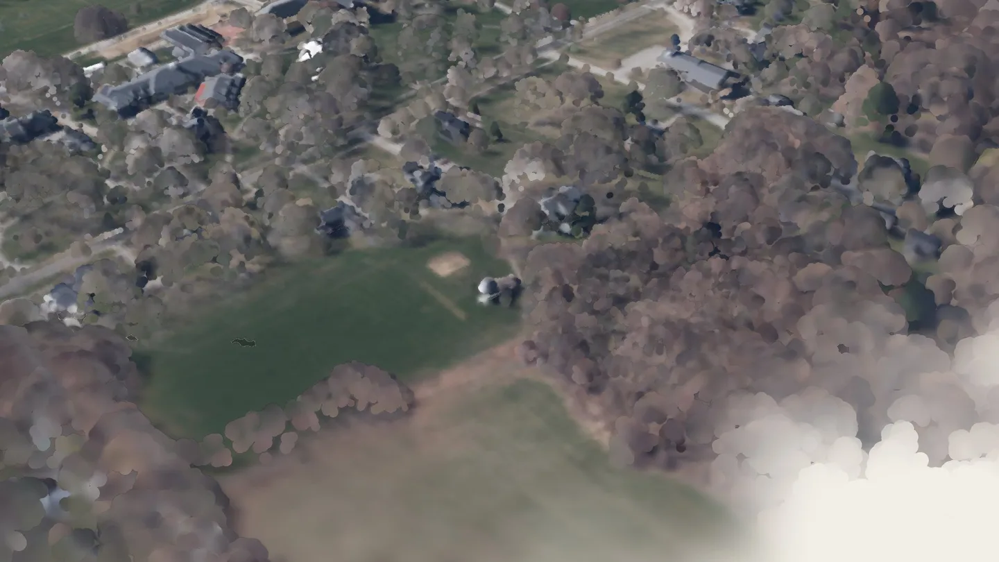
2023 LiDAR + aerial survey · CT State GIS Office · real data, not AI.CT State GIS Office. (2023). 2023 Aerial imagery. Retrieved from https://maps.cteco.uconn.edu/data/flight2023/. Lidar: 2023 Connecticut Statewide Lidar, NOAA Office for Coastal Management Digital Coast, dataset 10296. © OpenStreetMap contributors (ODbL 1.0), https://www.openstreetmap.org/copyright: building outlines that place the tour-stop pins.
observatory-riseAI-animated from a public-domain photograph